By Amanda Lubinski
ALubinski@cherryroad.com
CLAY COUNTY – According to the National Weather Service in Pleasant Hill, Winter Storm Blair could bring near-record amounts of snow to the Kansas City area this weekend. The area, including Clay County, is under a winter storm warning until 3 a.m. Monday, Jan. 6.
Kansas City’s record for heaviest 24-hour snowfall is 16.1 inches, set on March 23, 1912. The most recent heaviest snowfall was 9.2 inches on Feb. 2, 2013.
Projected snow totals
According to the most recent weather forecasts, drizzle and freezing drizzle may start in the western portions of the Kansas City metro Saturday afternoon, Jan. 4. Eastern Kansas and western Missouri are expected to see frozen precipitation later Saturday night.
“Then we’re looking for everything to kind of transition into snow kind of like Saturday into Sunday,” Randall Collier, a meteorologist with the National Weather Service in Pleasant Hill told the Kansas City Star. “We’re looking at heavy, accumulating snow. North of Interstate 70 and along the highway (U.S.) 36 corridor, we’re looking at anywhere from 8 to 16 inches of snow accumulations for this event.”
“Total snow and sleet accumulations between 6 and 13 inches and ice accumulations up to
2/10ths of an inch. Winds gusting as high as 35 mph,” reports the weather service about expected conditions in the area this weekend.
With the area’s weather forecast indicating freezing rain and snow expected this weekend and inclement winter weather typically seen in January, the Missouri Highway Patrol is sharing tips on how to stay safe on roadways.
“Be sure to increase your following distance as you drive; stopping quickly on wet, snowy, or icy roads can be hazardous or impossible. Be aware that elevated roadways such as bridges and ramps may freeze faster and a roadway that appears wet could be icy,” reads a statement from the highway patrol. “Leaving at least 5 seconds between your vehicle and the one in front of you is always a smart idea, especially in inclement weather.”
City street plans
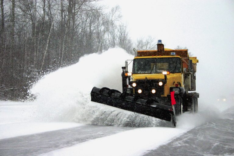
City, county and state street crews will be out treating roadways ahead of the storm and plowing roads during the weather event. Drivers are encouraged to leave plenty of room when navigating roads with snow plows and to not park on city streets so plows can more easily access and clear streets.
According to the Gladstone Public Works, crews will clear designated snow routes first, streets with several continuous blocks second, short street segments third and culs-de-sac and dead-end streets last. In the event heavy, continuing snowfall prevents adequate cleaning of streets, operations will be restricted to the established emergency snow routes.
The city’s goal is to have all city streets plowed and treated within 24 hours from the end of each snow event.
The U.S. Department of Transportation’s National Highway Traffic Safety Administration reports since 2022, there have been an estimated 153,620 vehicle crashes that occurred when there was snow and sleet conditions. The administration warns that driving near plows is dangerous.
“Snow plows travel slowly, make wide turns, stop frequently, overlap lanes and exit the road without warning. If you find yourself behind a snow plow, maintain a safe distance and only pass when it is safe,” reports the NHTSA.